
Inside the platform
A walkthrough of the live product — from a farmer's dashboard to compliance audits, the Virtual Warehouse and financials.

Product walkthrough with demonstration data.
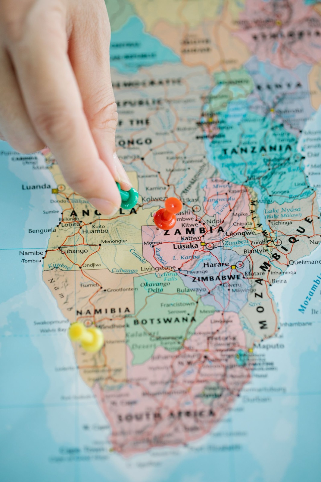 Eastern Province · 8 districts mapped
01 / 04
Farms, suppliers, production areas and geospatial networks — plotted, layered and searchable. The view from up high, for the whole value chain.
- GPS farm boundaries & plot mapping
- Supplier & aggregator networks
- Remote-sensing & crop layers
Field officers
Walk farm boundaries with GPS, even offline.
Programme leads
See coverage, gaps and clusters across districts.
02 / 04
Field activity, procurement, production and inventory run through connected, offline-aware workflows that field officers, processors and farmers can actually use.
- Field tasks & extension visits
- Procurement & inventory
- Voice & natural-language capture
Processors
Plan intake against supplier forecasts.
Aggregators
Coordinate collection routes and inventory.
Batch certificate
B-NY-2026-041
- Commodity
- Pigeon peas
- District
- Nyimba
- QA result
- Grade A
03 / 04
Batch traceability, quality records and compliance-ready documentation — captured at the source and linked from farm to factory.
- Batch-level traceability
- QA & certification records
- EUDR & organic readiness scoring
QA teams
Attach lab results and inspections to batches.
Exporters
Assemble EUDR & organic due-diligence evidence.

Buyer matched
24 t soya · Petauke → Lusaka
04 / 04
Connect verified supply with buyers through the Virtual Warehouse — coordinate transactions and open higher-value markets for every participant.
- Virtual Warehouse listings
- Buyer demand & enquiries
- Transaction coordination
Buyers
Discover verified supply and post demand.
Farmer groups
Reach higher-value markets with proof.
Technology architecture
Each layer translates into customer outcomes. Technology-provider names and logos will appear only once confirmed.
Cloud infrastructure
AWS-compatible deployment, monitoring and resilience.
AI / ML
Natural-language & voice interfaces, RAG over approved records, predictive models.
Geospatial & environmental
PostGIS, remote sensing layers, deforestation-risk overlays.
Traceability
Batch lineage from plot to processor, with tamper-evident records.
Payments & transactions
Transaction coordination and payment integrations.
Identity verification
Participant onboarding and verification workflows.
Security & governance
Consent, role-based access, audit logs and API protections.
Integrations & licensing
Configurable endpoints, enterprise integrations and deployment options.